Understanding basemaps
A basemap is a set of geographic images supplied by a server computer to a client device. The client device could be a smart phone (iOS, Android, Win10), tablet, laptop or desktop computer.
These geographic images are called tiles. An individual tile is a square with dimensions of 256x256 or 512x512 pixels. Tiles can contain photographic data, derived from satellite or aerial photography, or mapping data such as roads and infrastructure.
An example 256x256 pixel tile generated from aerial photography located on the coast of New South Wales at zoom level 12 is below:
The server computer is called a tile server. The tile server stores base data, from which the tiles are generated. Software installed on the server computer generates the appropriate tiles based upon requests from client devices.
The tiles are sent from a tile server to the requesting program such as Konect Manager (or konect on the client device) via the internet.
A basemap is accessed via a URL. For example, the following URL hosted by the Konect server
https://tiles.konectech.com/streets/{z}/{x}/{y}.png
is used by Konect Manager to provide the 'Streets' basemap.
An example basemap that can be accessed by anyone is ‘Streets’ which is provided by a server computer hosted by the company Mapbox (https://www.mapbox.com). ‘Streets’ tiles can be generated for the entire world. All these tiles, if generated, would amount to gigabytes of data. To download an entire basemap to every client computer user is practically impossible and, if it were possible, it would be a waste of computer and communication resources.
Instead, an application such as Konect Manager, that wants to display or use only a small part of a basemap, can request tiles that cover the current viewing window at the current zoom level. The server generates and returns only the required tiles and the requesting application displays the tiles on the map. As the user pans the map or zooms in or out, Konect Manager requests new tiles from the server that cover the new viewing window and zoom level.
If the connection to the server is slow or the server is under a heavy load, then it's possible to see the tiles being displayed on the map one-by-one.
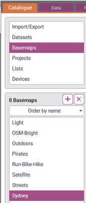
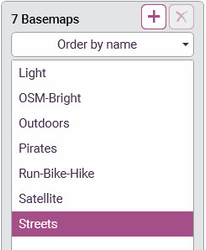
Konect Manager comes with built-in access to several basemaps such as 'Streets' and 'Satellite' as shown below.
Here is a small part of the 'Streets' basemap centered on the Brisbane City Botanic Gardens (Queensland, Australia), as displayed in Konect Manager:
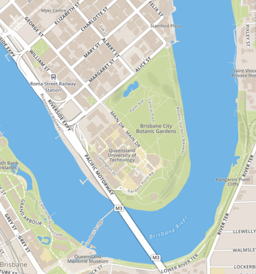
Users can select a basemap as a background to their projects. Having a basemap such as 'Streets' in a project is very useful as it allows users to quickly find map features in their datasets or to verify that their datasets are geographically correct.
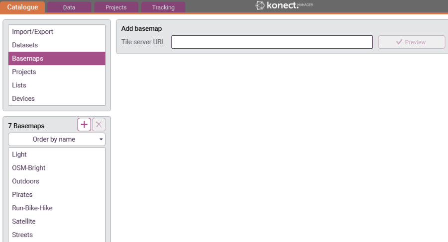
Users can add their own basemaps to Konect Manager by pressing the 'Add new basemap' button, the '+' sign, in the 'Basemaps' item of the 'Catalogue' tab.
A textbox appears in which the URL for the basemap is entered:
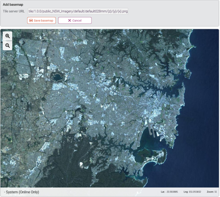
After entering the URL, the 'Preview' button is used to view the basemap. Note that the map may have to be panned and zoomed to see the tiles.
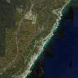
Use the following URL as an example. It gives the aerial photography of New South Wales, Australia:
If the centre of the current viewing window is outside NSW then the map will need to be panned to see the tiles.
The 'Save basemap' button allows the URL to be saved along with a user-friendly name.
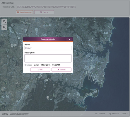
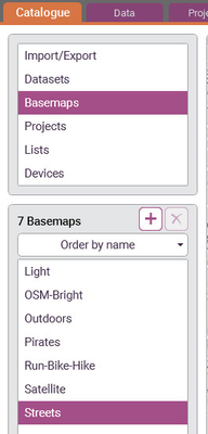
After pressing the ‘Ok’ button the saved basemap will appear in the list of basemaps and can be identitfied with the friendly name provided. This new basemap is available for selection in projects. See the example below.
In this case the newly created Sydney basemap can be used within an existing or new project: