/
Map Labels
Map Labels
- John Ivett (Unlicensed)
Owned by John Ivett (Unlicensed)
A map label is descriptive text displayed on a map in a location near the geographical feature it represents. The text value is derived from a field in a Dataset and displayed using a style set by the user and following various labelling rules and conventions (see Labelling Rules). For example streets could be labeled with their name. Labels are used to make the user experience simpler and provide key information directly on the map enabling better decision making.
Point, line and region features can be labelled
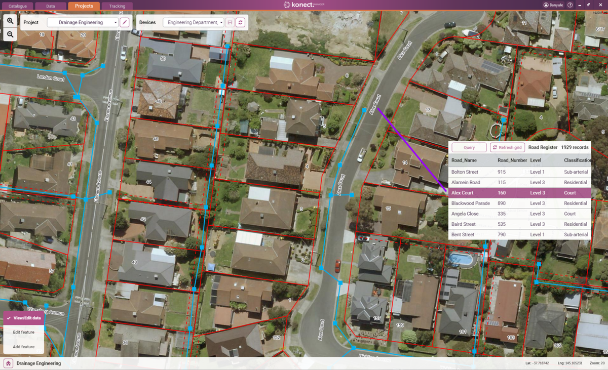
, multiple selections available,
Related content
Labelling Rules
Labelling Rules
More like this
Importing Data
Importing Data
More like this
Automatic GPS Drawing
Automatic GPS Drawing
More like this