Importing Data
- John Ivett (Unlicensed)
Many users will have data that has been stored and managed in other systems. The import process can be used to:
- Create a data structure and automatically setup a basic data collection form (a Dataset)
- Create a data structure and store the associated data records in the Konect database (a Dataset)
- Append records to existing Konect Datasets
- Merge values with existing Konect Datasets
Data can be imported in CSV, Esri SHP, MapInfo TAB and GeoJSON formats. Detailed instructions for each of these import types are dealt with individually in the help system.
Importing CSV Files - Appending to an Existing Dataset
Importing CSV Files - Create a New Dataset
CSV Files
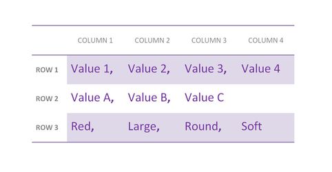
CSV files are one of the most common data exchange formats and they are widely used because of their simplicity. For those not familiar with this term, CSV is short for comma separated value and a CSV file stores tabular or row and column data where each row of data, referred to as a record, is made up of values separated by commas. A CSV file does not require a header row but the first row of data can be used as a header when opened in different viewing applications.
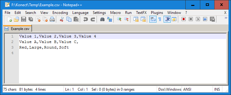
When opened in a simple text editor, each row of data displays on a separate line and each column vale has a separating comma
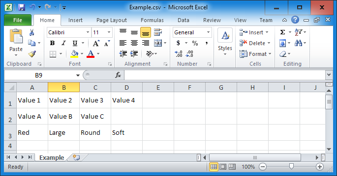
Microsoft Excel is probably the most common tool used for preparing and working with CSV files. Spreadsheets provide excellent tools for manipulating the data values and saving csv files. It should be noted that each row x column value is allocated to a cell in the spreadsheet and although the separating commas are not shown, they are maintained in the saved CSV file. If you use a spreadsheet you won’t have to deal with inserting the comma separators as this is handled automatically when files are saved in csv format.