...
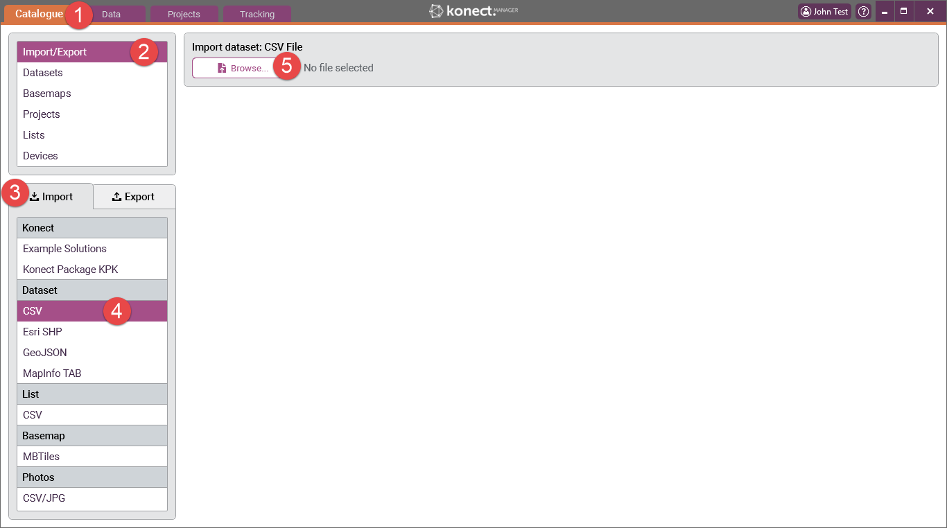
5 Press the ‘Browse’ button. Select and 'Open' the required file. In this example ‘Bins.csv' has been used.
6 If the CSV file has fields with the names "X" and "Y" and these fields contain valid longitude and latitude values respectively, Konect will automatically recognise these and
Konect Manager reads the contents of the selected file and displays the number of records and the number of data fields in the file. It also draws a rectangle, called the bounding rectangle, that geographically encompasses all the map features in the file. The user can use this information to check that the correct data is being imported.
Konect performs a comparison between the dataset being imported and all existing datasets in Konect. If the data structure matches in any way you will be presented with the option of either 'Creating a new dataset' or 'Appending to an existing dataset'.
...
